Initial seed sections
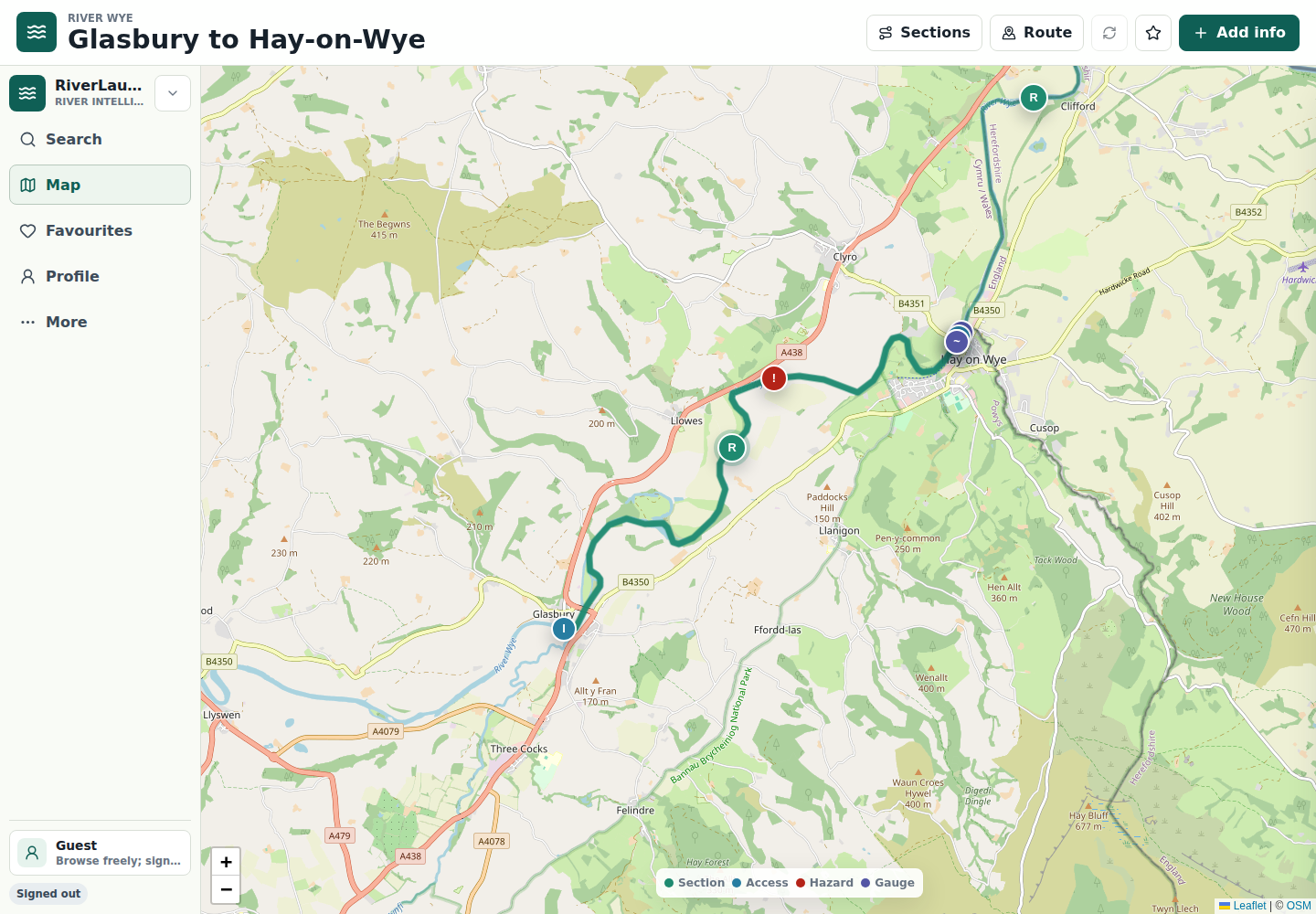
Glasbury to Hay-on-Wye, Hay-on-Wye to Whitney Bridge, Whitney Bridge to Bredwardine, Hoarwithy to Ross-on-Wye, Ross-on-Wye to Kerne Bridge, Kerne Bridge to Symonds Yat, and Symonds Yat to Monmouth.
River Wye pilot
The first pilot focuses on the River Wye because it is a clear touring canoe river with practical section choices, access questions, campsites, hire traffic, and level interpretation needs.
Glasbury to Hay-on-Wye, Hay-on-Wye to Whitney Bridge, Whitney Bridge to Bredwardine, Hoarwithy to Ross-on-Wye, Ross-on-Wye to Kerne Bridge, Kerne Bridge to Symonds Yat, and Symonds Yat to Monmouth.
Put-ins, take-outs, parking constraints, gauge relevance, open canoe runnable ranges, fixed hazards, recent obstructions, and useful photos.
Local paddlers and clubs can validate the structure, contribute useful updates, and tell the difference between official data and community guidance.
Preview only
The preview at staging.riverlaunch.app is for evaluation and discussion. Wye section data still needs local verification before public trip planning use.
Validation questions
The next milestone is not whether the site can be deployed. It is whether paddlers will add, correct, confirm, and refresh structured local river knowledge.
The seeded guide must be useful before contributions, with clear gaps where local confirmation is still needed.
Author, observed date, confirmation count, photos, status, and source confidence are visible product surfaces.
The long-term model depends on local stewards, trusted contributors, and moderation for sensitive access information.